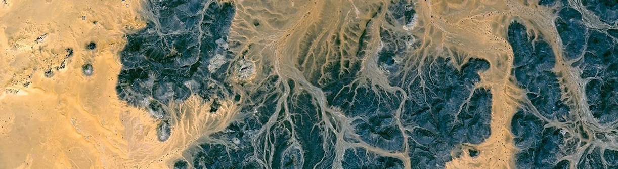
Computer Vision (CV) and Remote Sensing Technology
Computer Vision (CV), deep learning, and artificial intelligence (AI) methods for applications in remote sensing can support and resolve challenges for large satellite image data sets by utilizing high-performance based models to collect and identify features in an environment with precise accuracy and speed. CV and deep learning can help the end-user to understand the data and improve the overall accuracy of the feature classification and can enhance the reliability and assess features of image data collected. Computer Vision’s algorithms can remove noise and enhance satellite and aerial image data that can improve the analysis of large areas to classify objects, features, detect change, data fusion, cloud removal, and spectral analysis from imagery that will overcome challenges of remote sensing data.
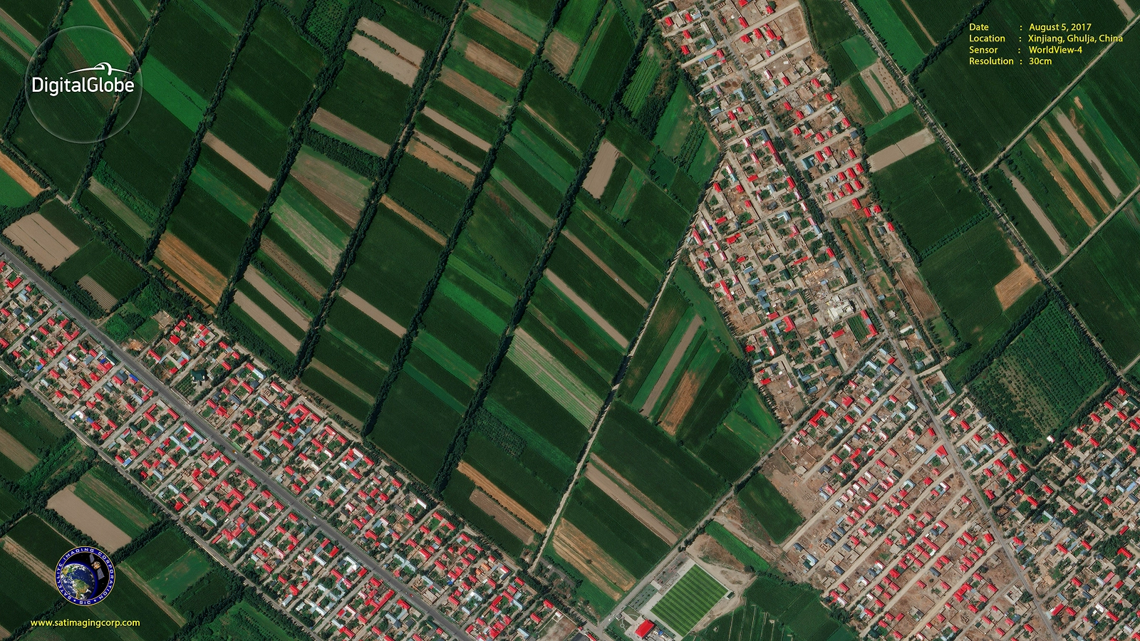
WorldView-4 Satellite Image of Agriculture Fields – Xinjiang Ghulja, China (30cm)
Copyright © MAXAR. All Rights Reserved.
Images collected by satellites or unmanned aerial vehicles (UAV) by applying CV, AI (Artificial Intelligence), ML (Machine Learning), and deep learning methods, these models can provide near real-time reports for areas with complex feature distribution such as in the applications of mineral mapping, agriculture, climate change, environmental monitoring, and wildlife conservation.
CV for Agriculture Mapping
Utilizing high-resolution, multispectral satellite images, and Computer Vision (CV) algorithms, image data is collected and transferred into management solutions for crop health and improved production targets. CV and geographic information systems (GIS) tools can help farmers to conduct crop forecasting and manage their agriculture production by utilizing image data collected by satellites, fix wing aircraft, or unmanned aerial vehicles (UAV). This data is collected and processed to provide a standard NDVI vegetation index or more complex vegetation and soil algorithms, to identify crop stress, production yields, and manage tree grading for large agriculture yields. The ability of CV and GIS to analyze and visualize agricultural environments and workflows has proven to be very beneficial to those involved in the farming industry.
Consultancy
Ongoing remote sensing and GIS mapping consultancy services are provided to our clients, including the set-up of reliable source coordinate databases in support of computerized mapping, exploration, and development of projects around the world and to clients implementing an AI/CV GIS management system, utilizing a variety of source data. For more information or for a consultation, please contact us.