Satellite Images for Environmental Monitoring
Satellite Imaging Corporation (SIC) offers satellite image data by using the combination of panchromatic and multispectral bands to bring out the environment features that are most important to your project.
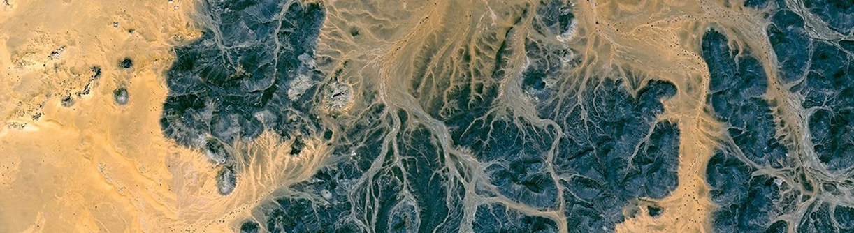
Satellite imagery and GIS maps have greatly expanded opportunities for satellite map data integration, analysis, modeling, and satellite map production for monitoring and assessment. As populations grow, as countries boost their economies, as landscapes change, governments have increasingly relied on up-to-date satellite imagery and other geospatial data for applications such as planning, land registration, disaster response, public health, agricultural biodiversity, conversation, and forestry
High-resolution satellite imagery has facilitated scientific research activities at landscape and regional scales. Availability of satellite images can provide spatial resolutions of 0.31m or better for analysis of urban growth and transportation development for assessment and monitoring. Multispectral sensors can provide an increased spectral resolution that can be used to further analyze land cover and change detection, urban growth, and associated transportation development impact these conditions.


Consultancy
Ongoing remote sensing, geodetic, and GIS mapping consultancy services are provided to our clients, including the set-up of reliable source coordinate databases in support of computerized mapping, exploration, and development of projects around the world and to clients implementing a GIS Project, utilizing a variety of source data, referenced to various survey datums and mapping projections. For more information or for a consultation, please contact us.