Satellite Image Data for Conservation and Research
Satellite Imaging Corporation (SIC) provides satellite image data by using the appropriate combination of bands to bring out the features that are most important to your project. The satellite images can be optimized to enhance using the appropriate multispectral band combinations to produce satellite maps for the various vegetation indices such as Normalized Difference Vegetation Index (NDVI), SAVI, RNDVI, and many other indices.
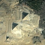
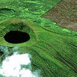
Satellite imagery facilitates production of global land use, land cover maps, and GIS maps that allow researchers to integrate satellite and population data efficiently.
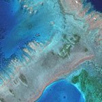
Satellite imagery combined with GIS maps is essential for environmental management and monitoring for habitat mapping, vegetation indices, wildlife conservation, global climate change, forestry, and coastal mapping.


