Hurricanes
Satellite images and GIS maps enable government, state, and emergency management to better prepare for hurricane impact on their region. Estimates of the particular land cover classes that may be inundated by each category hurricane can enable planners to better assess their region’s risk and vulnerability. With this type of information, planners are better able to prioritize and target mitigation and preparedness activities for their area.
rior to a storm, satellite images help pinpoint where previous disaster events have occurred, where they are likely to occur in the future, and the costs associated with historical events. After the storm, the satellite map can be used to determine the extent of landscape change and monitor the progress of recovery.
Hurricane Sandy – Seaside Heights, New Jersey

Image Copyright © MAXAR. All rights reserved.
Damage and Recovery Assessments
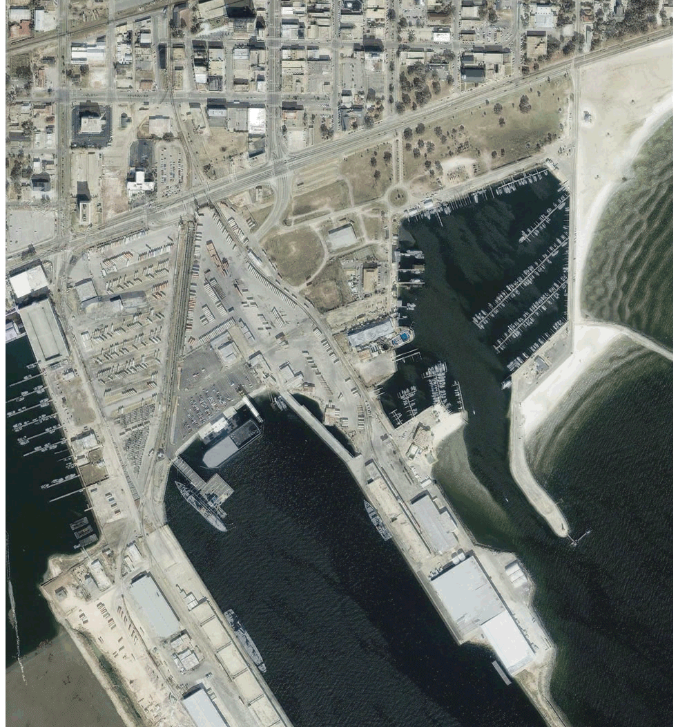
The spatial resolution of a satellite map determines the ability to view individual features such as buildings and bridges. It also affects the ability to monitor and assess damage conditions and depends on the nature of the disaster itself, for example, flooding, wind pressure, and storm surge.
High-resolution satellite images can distinguish damage conditions of individual buildings, such as damage to roofs caused by wind pressure. Widespread flooding can be detected and monitored using less-detailed moderate-resolution imagery.
Hurricane Katrina August 2005 – Time-lapse Animation
Click to view animation
Copyright © MAXAR/processed by Satellite Imaging Corporation. All rights reserved.


