Satellite Imagery and GIS Maps for Environmental Hazards
Remote sensing and Artificial Intelligence (AI) algorithms used to process satellite image data can support the mitigation, assessment and recovery from natural and environmental hazards as they occur. Environmental hazards that result from geological, hydrological, meteorological, and biological hazards can pose threats to settlements, structures, and often result in catastrophic damages to highways, railways, waterways, pipelines, and infrastructure.
Remote Sensing and AI
The latest innovation in the utilization assessing and analyzing large amounts of data is Artificial Intelligence (AI) and Machine Learning (ML) for natural hazards and disaster management. AI for natural hazard mitigation takes advantage of ML and CV models. Using remote sensing satellite imagery collected by earth observation satellites, aircraft or unmanned aerial vehicles (UAV) can predict behavior of natural disasters and environmental hazards that can provide near real-time reports of infrastructure damage, environmental hazards, and emergency recovery. This state-of-the-art technology enables scientists and management to facilitate the speedy recovery of the damages at hand and to predict future models.
Satellite Imaging Corporation (SIC) utilizes high-resolution satellite imagery and geographical information system (GIS) data intergrated with AI to create large databases and models necessary for the analysis and prediction of environmental hazards.
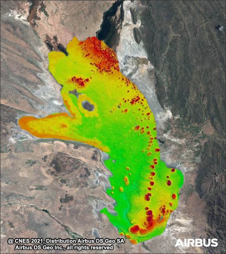
Pleiades Neo 3 – Environmental Monitoring – Bathymetry (1.2m)
Copyright © AIRBUS Defence & Space. All rights reserved.


