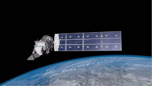
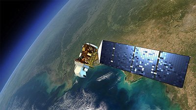
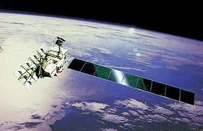
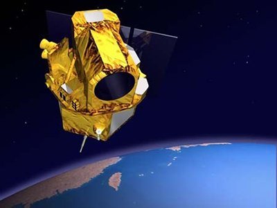
CBERS-4 Satellite Sensor
(5m)
China–Brazil Earth Resources was successfully launched on December 7, 2014. CBERS-4 satellite sensor replaces CBERS-3 which was lost in a launch failure in December 2013, from the Taiyuan Satellite Launch Center in China. CBERS-4 satellite will produce 5-meters high-resolution panchromatic satellite imagery and up to 20-meters multispectral imagery for use in different applications including, environmental monitoring, forestry, land use, and water resources.
CBERS-4 satellite will focus on the deforestation of the Amazon rainforest to monitor and manage activities and to provide solutions to aid and support conservation efforts of the rainforests.
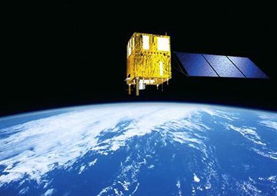
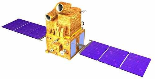
CBERS 4 (5m) Satellite Sensor

Copyright © INPE, CAST. All Rights Reserved.
The CBERS-4 satellite carries four cameras:
- MUXCam, a multispectral (MS) camera
- PanMUX, a panchromatic (PAN) imager
- IRS, a medium-resolution infrared scanner
- WFI, a wide-field imaging camera
CBERS-4 Satellite Sensor Specifications
Camera
MUXCam
PanMUX
IRS
WFI
Provider
Brazil
China
China
Brazil
Spectral bands (µm
0.45-0.52 (blue)
0.52-0.59 (green)
0.63-0.69 (red)
0.77-0.89 (NIR)
0.51-0.89 (Pan)
0.52-0.59 (green)
0.63-0.69 (red)
0.77-0.89 (NIR)
0.77-0.89 (NIR)
1.55-1.75 (SWIR)
2.08-2.35 (SWIR)
10.4-12.5 (TIR)
0.45-0.52 (blue)
0.52-0.59 (green)
0.63-0.69 (red)
0.77-0.89 (NIR)
Resolution GSD
20 m
5 m (Pan), 10 m (MS)
40 m / (80 m TIR)
64 m (nadir)
Swath
120km
60km
120km
866km
Revisit capability
No cross-track pointing
3 (cross-track pointing ±32º)
Normal revisit time
26
52*
26
5