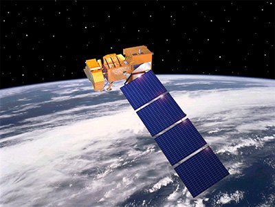
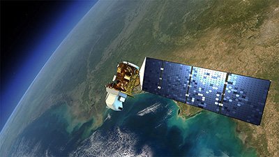
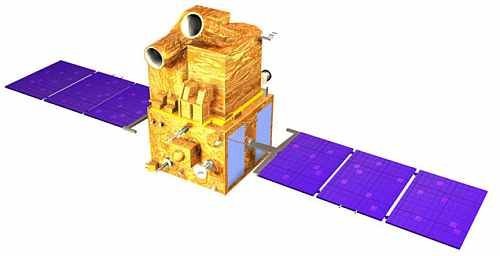
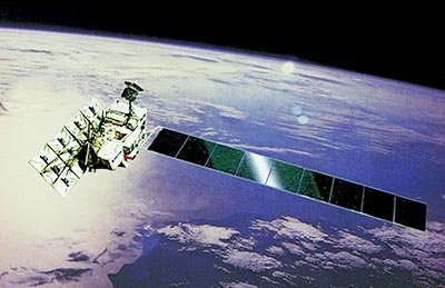
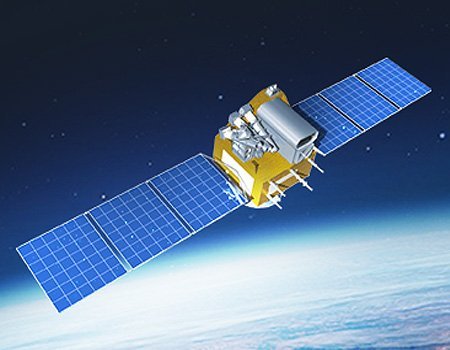
FORMOSAT-2 Satellite Sensor
(2m) - Decommissioned
The first remote sensing satellite developed by National Space Organization (NSPO), FORMOSAT-2 satellite sensor, successfully launched on May 21, 2004.
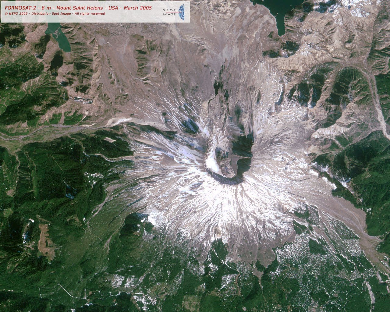
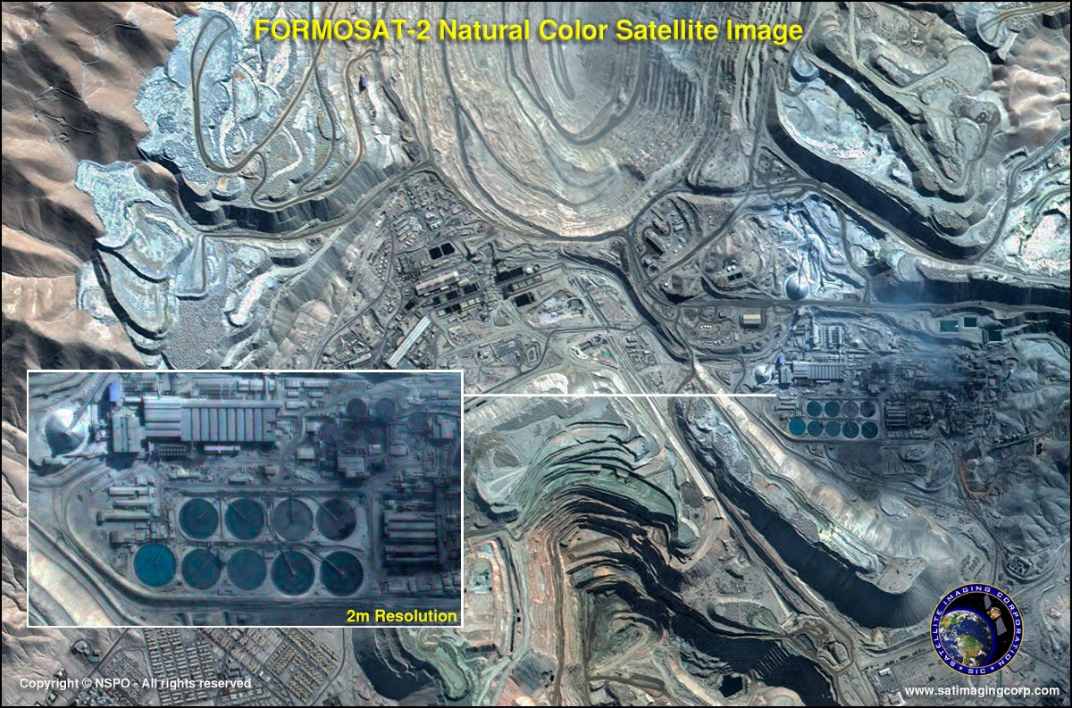
The images captured by FORMOSAT-2 with a high-resolution of 2-meter panchromatic data and 8-meter multispectral satellite image data can be used for land distribution, natural resources research, forestry, environmental protection, disaster prevention, rescue work, and other applications.
FORMOSAT-2 Satellite Sensor (2m)
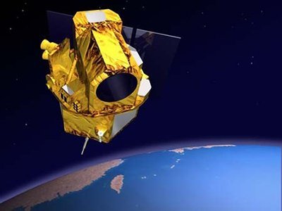
Copyright © AIRBUS Defence & Space. All rights reserved.
FORMOSAT-2 satellite carries both “remote sensing” and “scientific observation” tasks in its mission. The spacecraft is operating nominally as of 2006.
The FORMOSAT-2’s Image Processing System (IPS) is independently developed by NSPO. It is designed to process images by tasking the satellite according to the user’s needs. Images are then taken and downloaded through X-band antenna, then crossed with through IPS such as radiometric and geometric corrections and stored in computers. These files will be delivered to the end-users based on the clients’ requests.
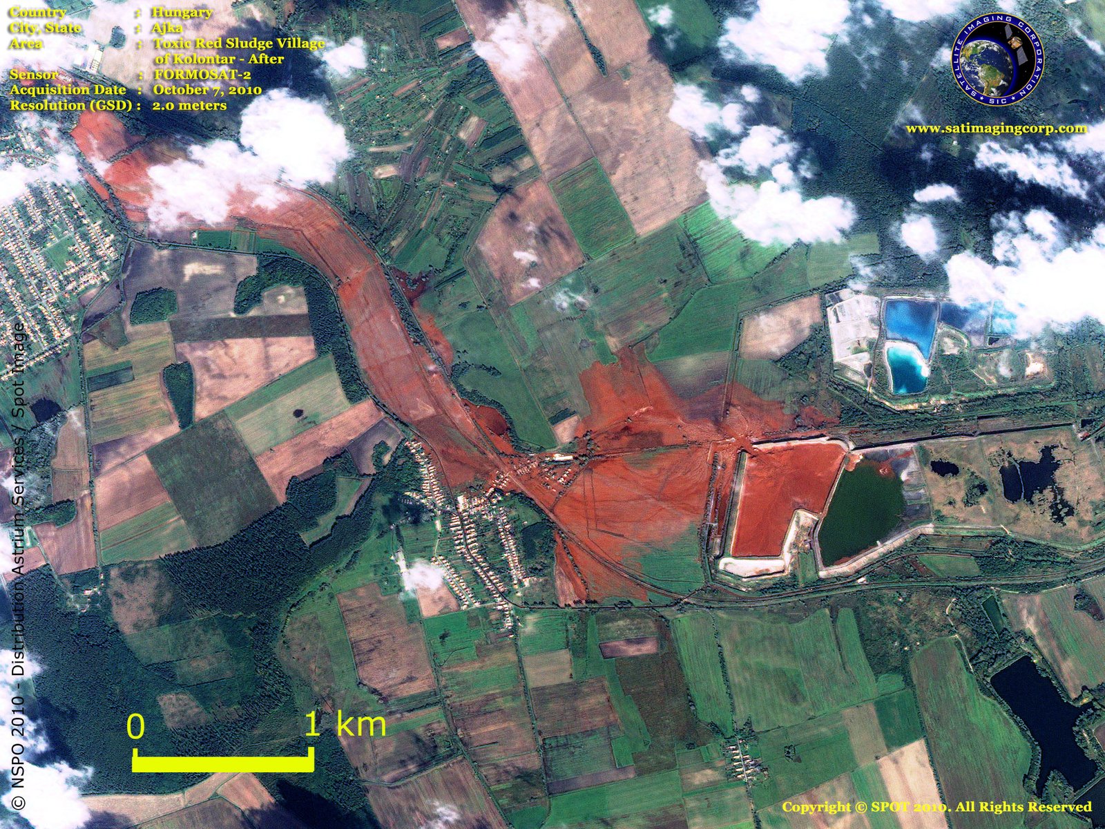
FORMOSAT-2 satellite imagery support monitoring and detecting land change for any specific region for various industries and mapping applications. Users can task the satellite to keep track by scheduling revisits to detect changes on land and infrastructures, to observe movement over time, and helps to keep a current database to know what is happening on the ground so users can make informed decisions.
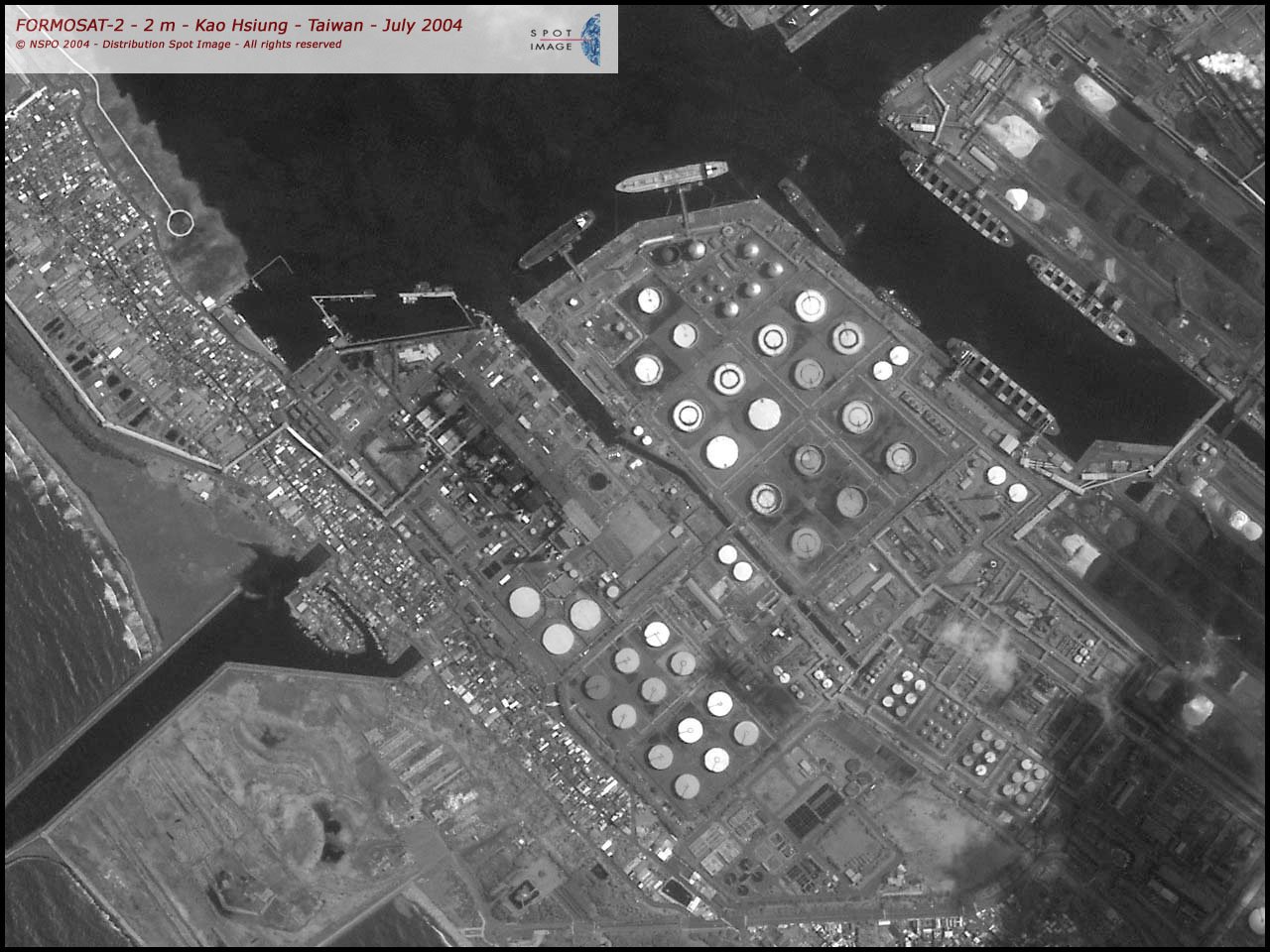
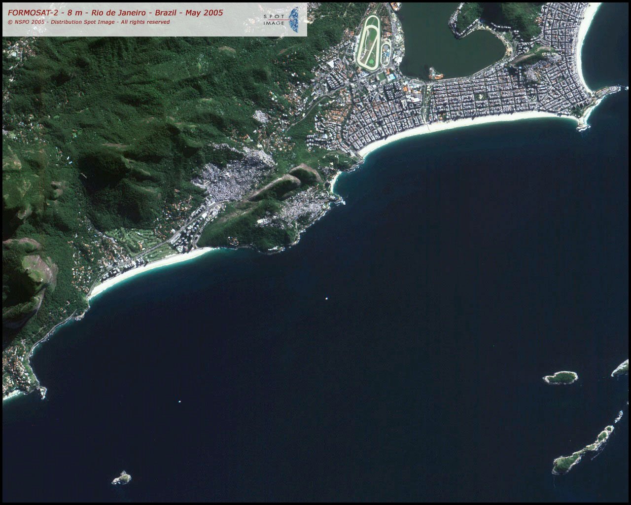
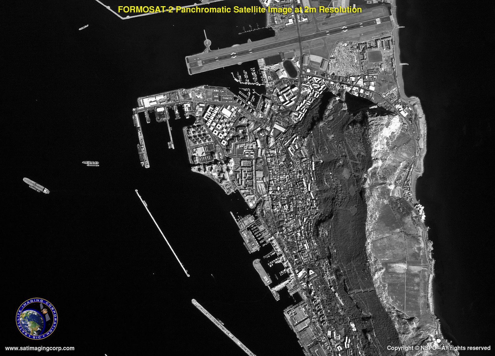
Sample Images
FORMOSAT-2 Satellite Image Gallery
* Click on thumbnail to view in full resolution.
For more information on any of our products and image processing services, please contact us for a complimentary consultation.
FORMOSAT-2 products are available in 3 preprocessing levels:
Level 1A
Radiometric corrections to remove distortions due to variations in sensitivity of elementary detectors in the imaging sensor.
Level 2A
Radiometric corrections identical to Level 1A. Geometric corrections to frame the image in a given map projection (default projection is UTM WGS 84).
Ortho
Radiometric corrections identical to Level 1A. Geometric corrections to frame the image in a map projection specified by the user and to remove relief distortions (map and/or control points and digital elevation model supplied by user).
FORMOSAT-2 Satellite Sensor Specifications
Imaging Data Products
- B&W: 2-m
- Color: 2-m (merge)
- Multispectral (R, G, B, NIR): 8-m
- Bundle (separate Pan and MS images)
Spectral Bands
- P: 0.45 – 0.90 µm (Panchromatic)
- B1: 0.45 – 0.52 µm (Blue)
- B2: 0.52 – 0.60 µm (Green)
- B3: 0.63 – 0.69 µm (Red)
- B4: 0.76 – 0.90 µm (Near-infrared)
Sensor Footprint
24 km x 24 km
Revisit Interval
Daily
Viewing Angles
Cross-track and along-track (forward/aft): +/- 45°
Satellite Tasking
Yes – Panchromatic and multispectral images can be acquired at the same time
Image Dynamics
8 bits / pixel
Image File Size
(level 1A without metadata)
- MS: 35 Mb
- Pan: 137 Mb


