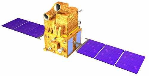
Landsat 8 Satellite Sensor
(15m)
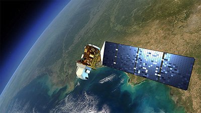
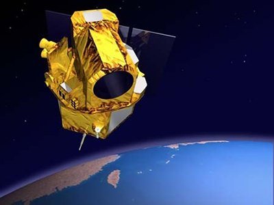
Landsat 8 satellite sensor is part of the Landsat Data Continuity Mission and was successfully launched on February 11, 2013, from the Space Launch Complex-3, Vandenberg Air Force Base in California, and will join Landsat 7 satellite in orbit. Watch video the of Landsat-8 satellite launch.
Landsat 8 Satellite Sensor (15m)
NASA
The eighth satellite in the series of Landsat satellites, Landsat 8 will continue and advance the collection of Landsat data with a two-sensor payload.
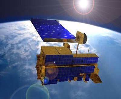
Landsat 8 satellite has two sensors: the Operational Land Imager (OLI) and the Thermal Infrared Sensor (TIRS).
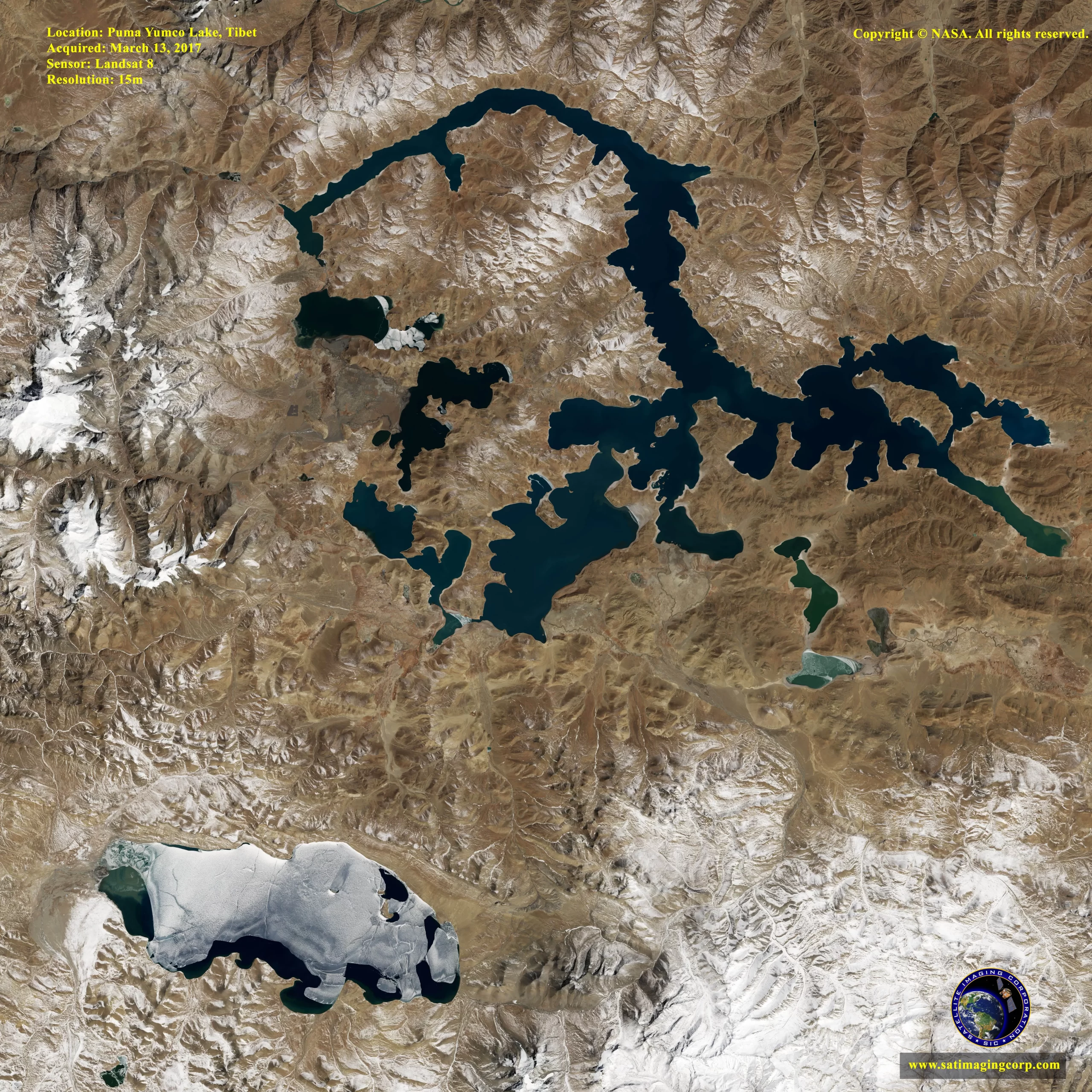
OLI will collect images using nine spectral bands in different wavelengths of visible, near-infrared, and shortwave light to observe a 185 kilometer (115 miles) wide swath of the Earth in 15-30 meters resolution covering wide areas of the Earth’s landscape while providing sufficient resolution to distinguish features like urban centers, farms, forests, and other land uses.
TIRS was added to the satellite mission when it became clear that state water resource managers rely on the highly accurate measurements of Earth’s thermal energy obtained by LDCM’s predecessors, Landsat 5 and Landsat 7, will track how land and water is being used. With nearly 80 percent of the fresh water in the Western U.S. being used to irrigate crops, TIRS will become an invaluable tool for managing water consumption.
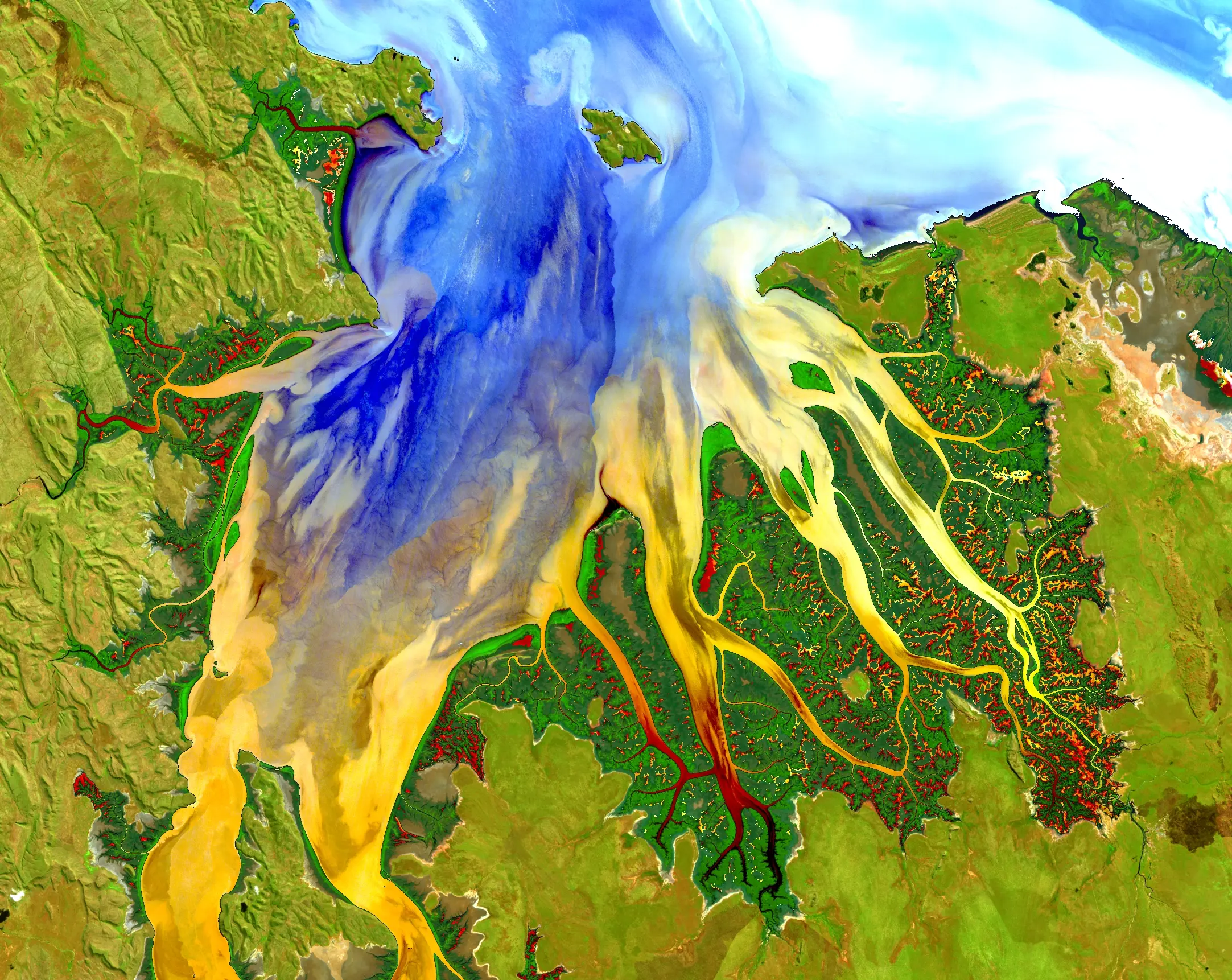
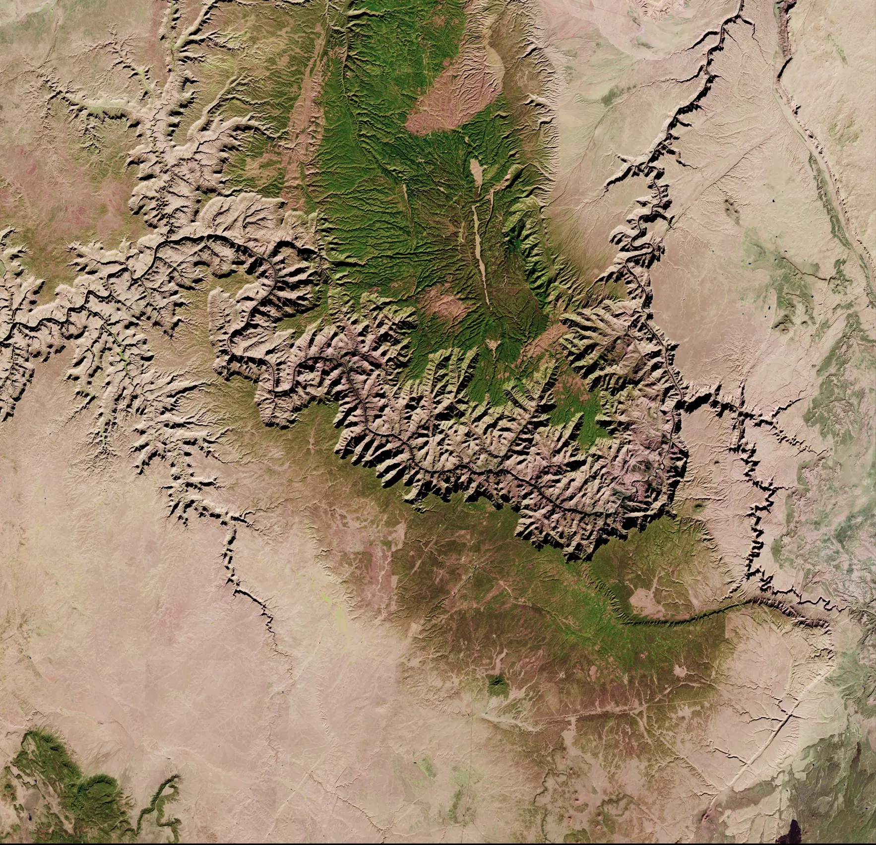
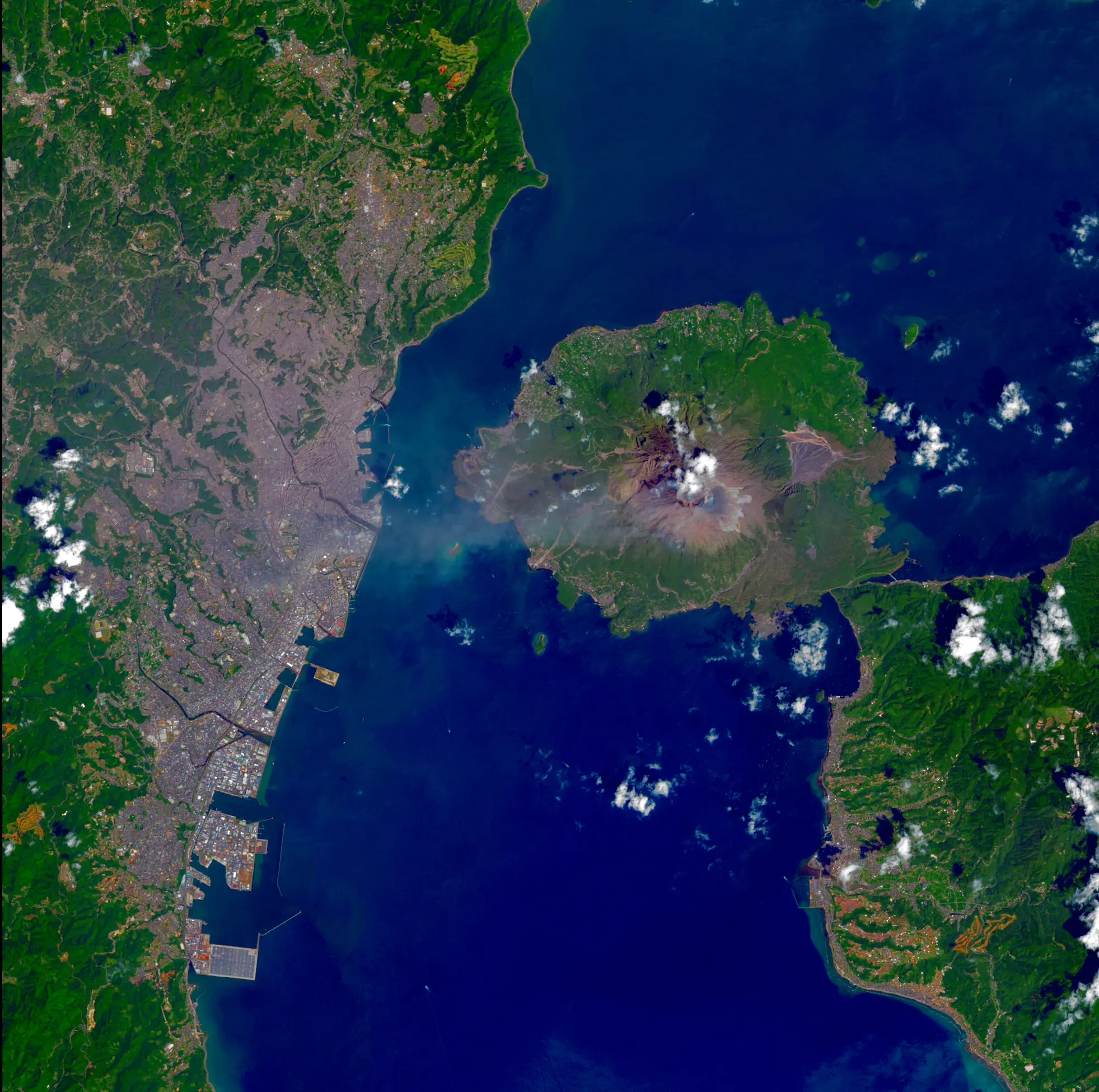
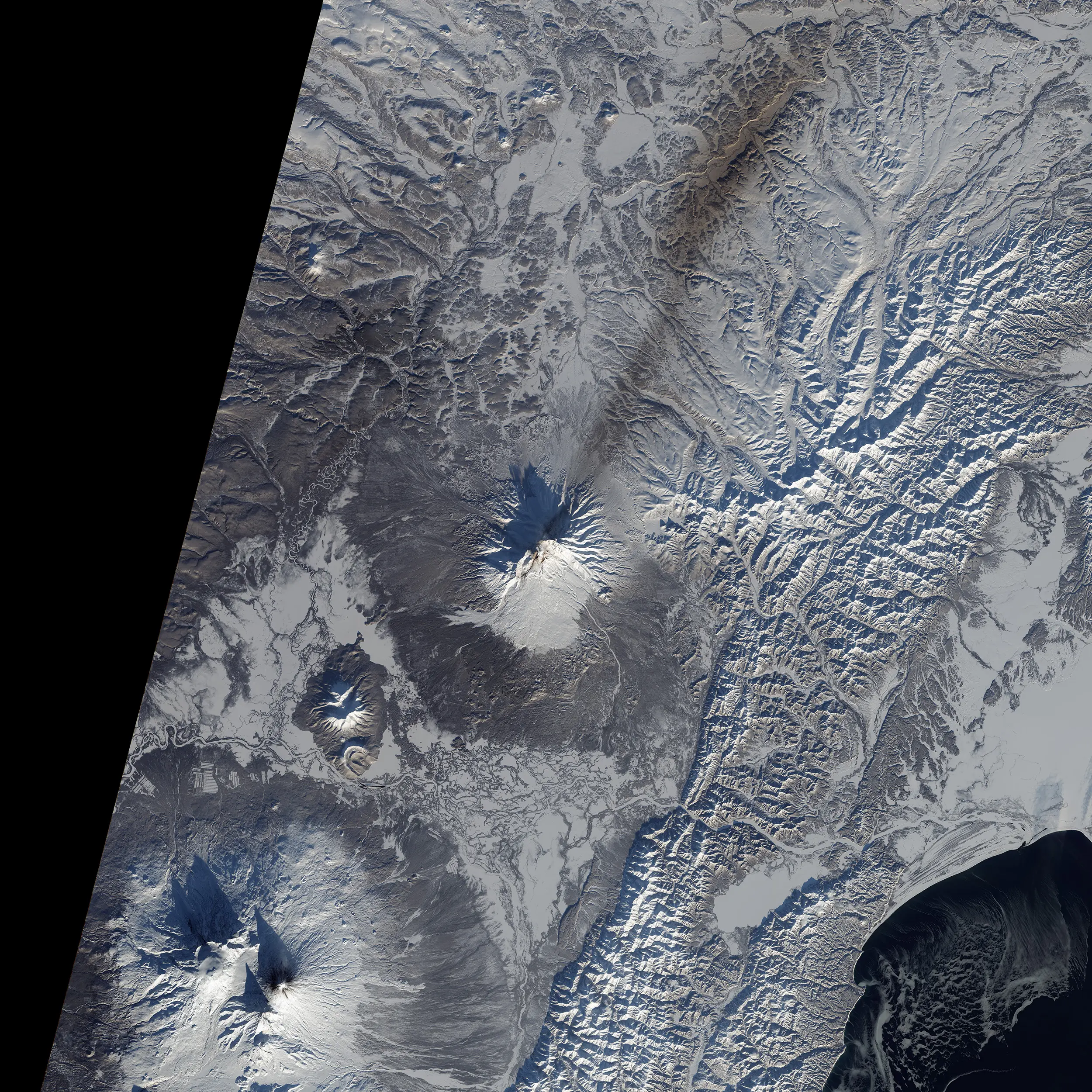
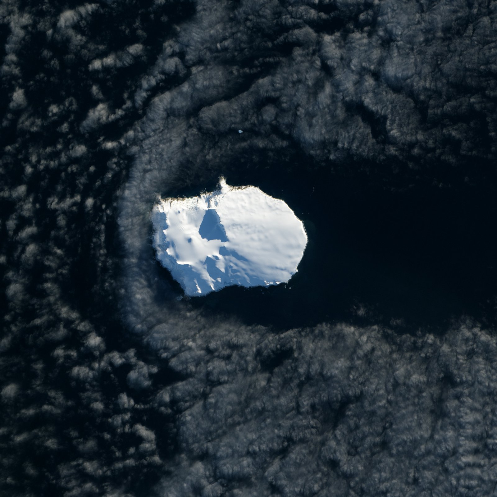
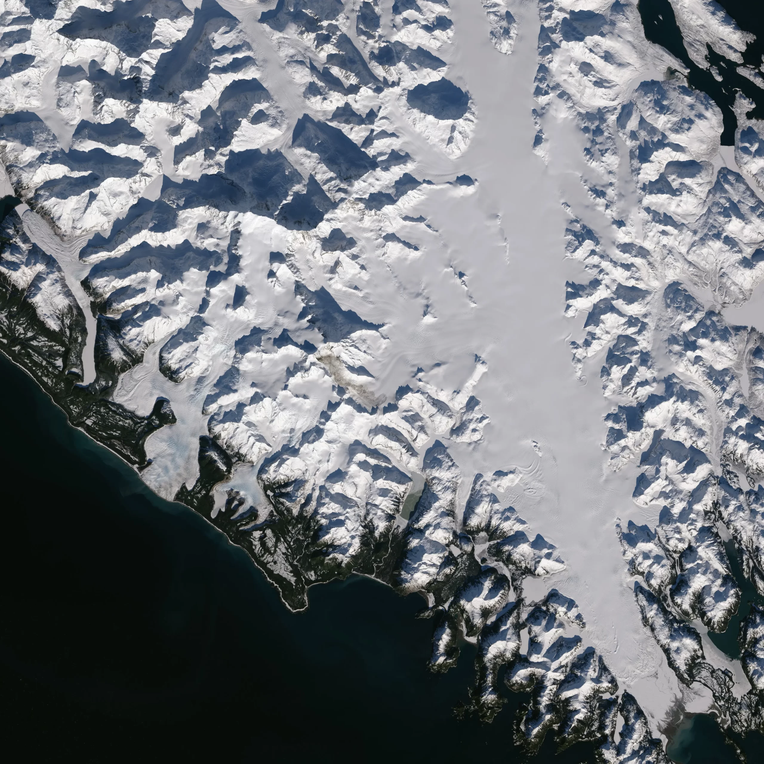
Sample Images
Landsat 8 Satellite Image Gallery
* Click on thumbnail to view in full resolution.
For more information on any of our products and image processing services, please contact us for a complimentary consultation.
Landsat 8 Satellite Sensor Specifications
Processing:
Level 1 T- Terrain Corrected
Pixel Size:
- OLI multispectral bands 1-7,9: 30-meters
- OLI panchromatic band 8: 15-meters
- TIRS bands 10-11: collected at 100 meters but resampled to 30 meters to match OLI multispectral bands
Data Characteristics:
- GeoTIFF data format
- Cubic Convolution (CC) resampling
- North Up (MAP) orientation
- Universal Transverse Mercator (UTM) map projection (Polar Stereographic for Antarctica)
- World Geodetic System (WGS) 84 datum
- 12 meter circular error, 90% confidence global accuracy for OLI
- 41 meter circular error, 90% confidence global accuracy for TIRS
- 16-bit pixel values
Spatial Resolution
Band # and Type
Bandwidth (µm)
Resolution (m)
Band 1 Coastal
0.43 – 0.45
30
Band 2 Blue
0.45 – 0.51
30
Band 3 Green
0.53 – 0.59
30
Band 4 Red
0.63 – 0.67
30
Band 5 NIR
0.85 – 0.88
30
Band 6 SWIR 1
1.57 – 1.65
30
Band 7 SWIR 2
2.11 – 2.29
30
Band 8 Pan
0.50 – 0.68
15
Band 9 Cirrus
1.36 – 1.38
30
Band 10 TIRS 1
10.6 – 11.19
30 (100)
Band 11 TIRS 2
11.5 – 12.51
30 (100)


