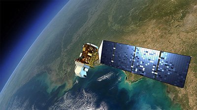
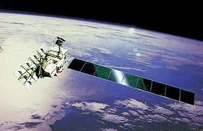
Landsat 9 Satellite Sensor
(15m)
Landsat 9 satellite sensor was successfully launched September 27, 2021, from Vandenberg Space Force Base in California and is the predecessor to Landsat 8, launched on February 11, 2013. Landsat 9 satellite has the most evolved of all the Landsat spectral bands and will replace the Landsat 7. The Landsat 9 is part of the NASA and USGS Landsat program has been successfully collecting satellite image data since 1972 for many applications in environmental monitoring, and land-use change, climate change, natural disasters, water quality monitoring, agriculture, and forestry.
Landsat 9 Satellite Sensor (15m)
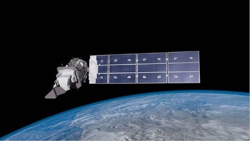
Image Copyright © NASA.
Landsat 9 satellite sensor will have a resolution of 15-meters panchromatic and 30-meters resolution multispectral. The spectral bands will be of higher quality infrared and shortwave-infrared light provided by the Operational Land Imager (OLI-2) camera and the Thermal Infrared Sensor (TIRS-2) to collect satellite imagery of the earth and to monitor changes in the environment. Landsat 9 will be supplied with sophisticated instruments that are capable of detecting thermal energy and visible near-infrared light to detect changes in the environment. These instruments aid in the detection of changes in the earth’s water supply and other natural resources that may affect critical issues at hand such as droughts, soil erosion, and rainfall disturbances to ensure that there is a sustainable water supply and other natural resources. The thermal infrared sensor TIRS-2 also aids in detecting cloud coverage and removing it from raw data to improve image quality. This data can support, monitor, and manage our natural resources to find sustainable solutions for many applications.
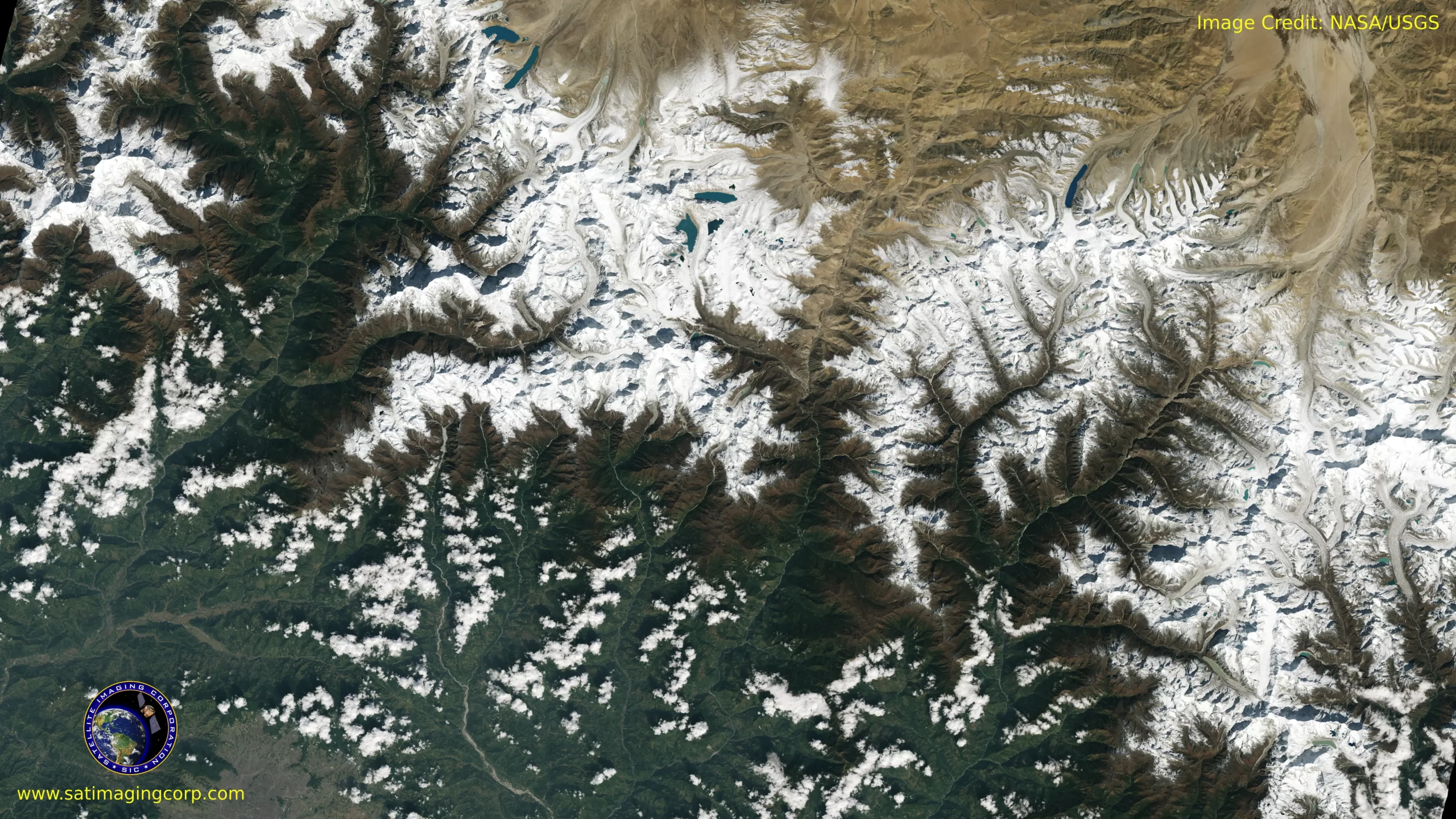
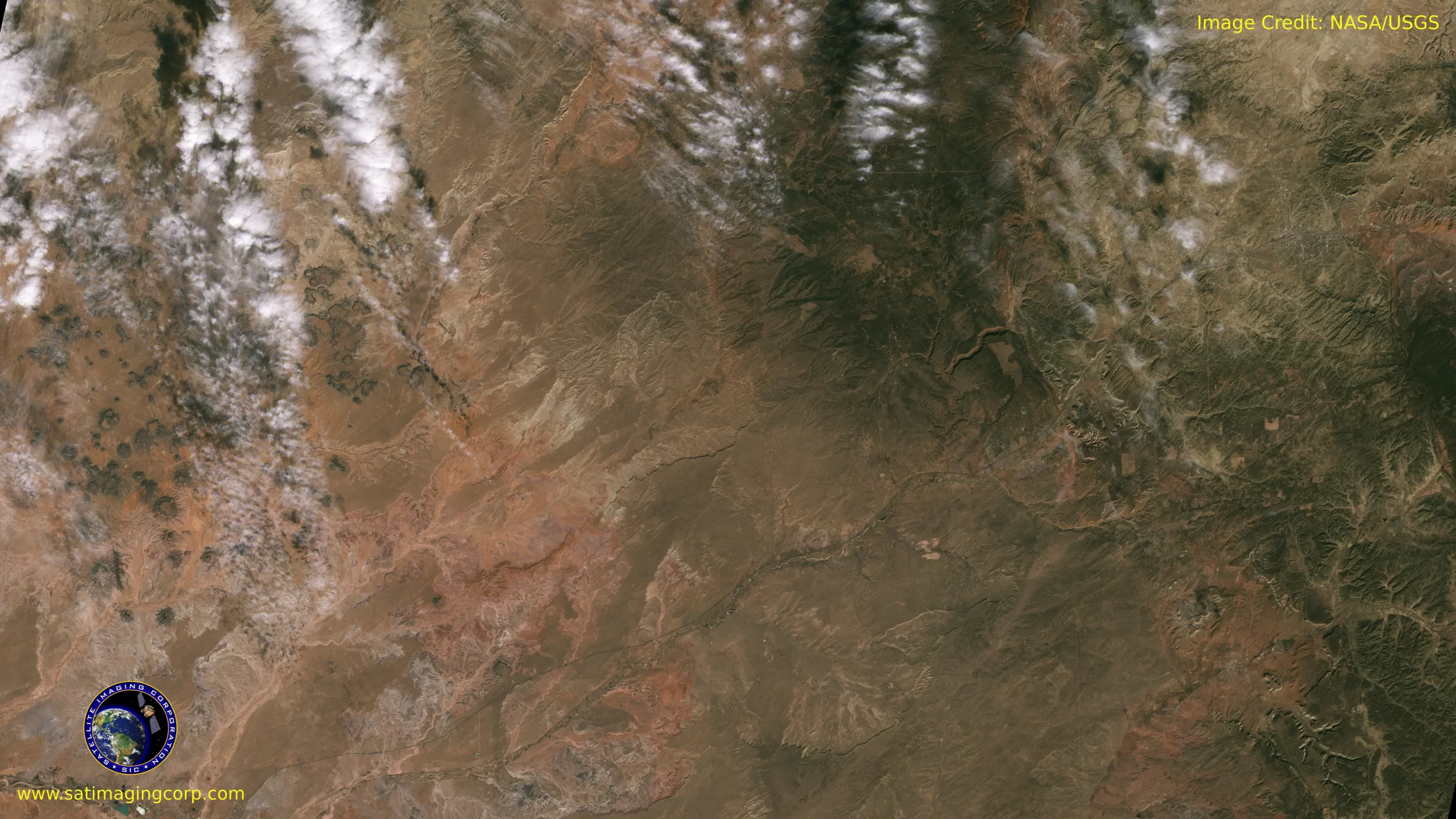
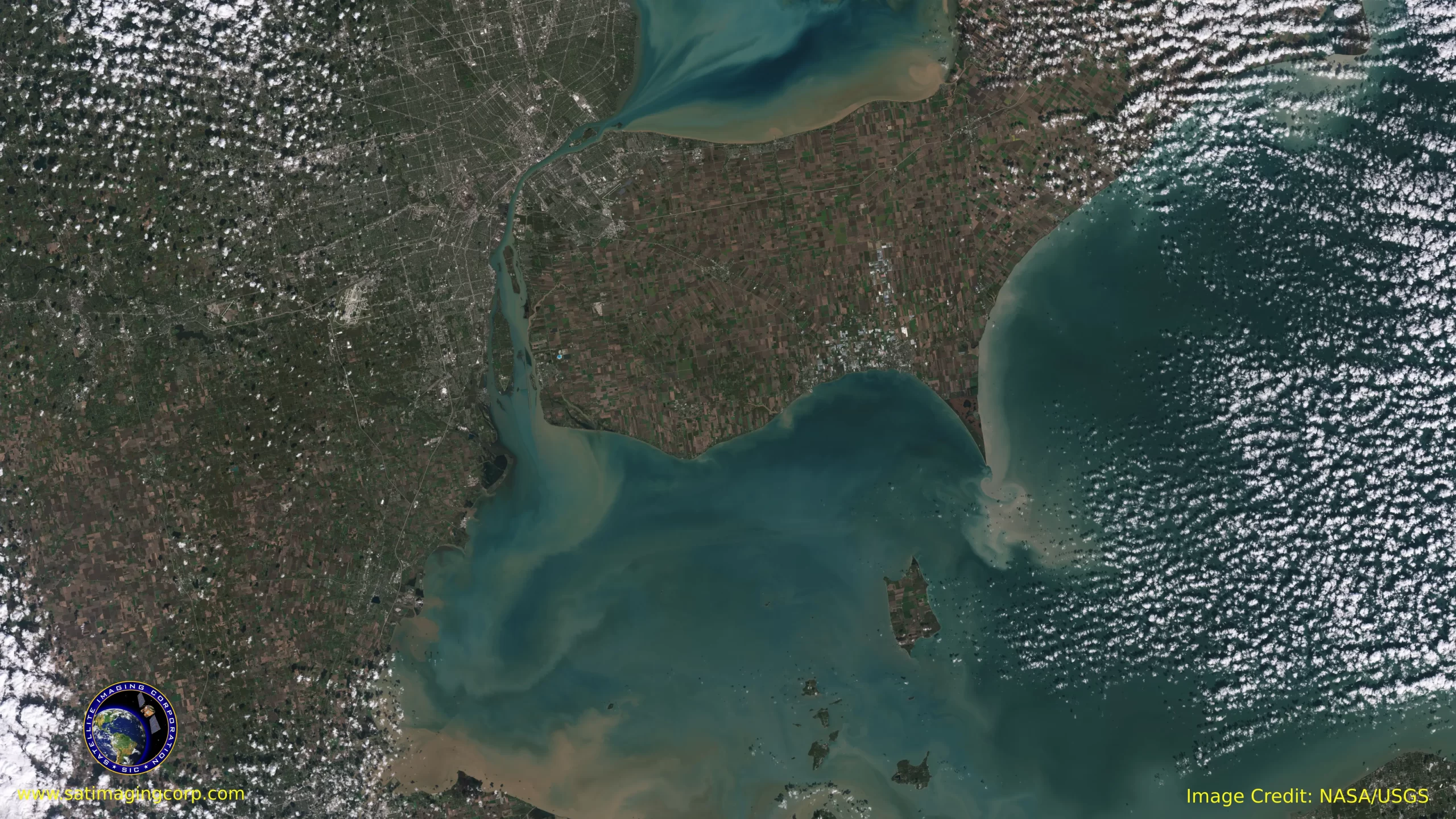
Sample Images
Landsat 9 Satellite Image Gallery
* Click on thumbnail to view in full resolution.
For more information on any of our products and image processing services, please contact us for a complimentary consultation.
Landsat 9 Satellite Sensor Specifications
Science Instruments
OLI-2; TIRS-2
OLI-2 built by
Ball Aerospace & Technology Corp.
TIRS-2 built by
NASA Goddard Space Flight Center
Design life
5 years
Resolution
15 meters Panchromatic; 30 meters Multispectral
Image data
750 scenes per day
Launch vehicle
United Launch Alliance Atlas V401
Orbit
Near-polar, sun-synchronous at an altitude of 438 miles
Irbital inclination
98.2 degrees
Spacecraft speed
16,760 miles per hourd
Consumables
10+ years
Operational Land Imager–2 (OLI-2) Spectral Bands
Band 1—Ultra blue (coastal/aerosol)
0.435–0.451 nm
Band 2—Blue
0.452–0.512 nm
Band 3—Green
0.533–0.590 nm
Band 4—Red
0.636–0.673 nm
Band 5—Near infrared (NIR)
0.851–0.879 nm
Band 6—Shortwave infrared (SWIR) 1
1.566–1.651 nm
Band 7—Shortwave infrared (SWIR) 2
2.107–2.294 nm
Band 8—Panchromatic
0.503–0.676 nm
Band 9—Cirrus
1.363–1.384 nm
Thermal Infrared Sensor-2 (TIRS-2) Spectral Bands
Band 10—Thermal infrared (TIR) 1
10.60–11.19 nm
Band 11—Thermal infrared (TIR) 2
11.50–12.51 nm


