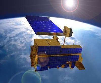
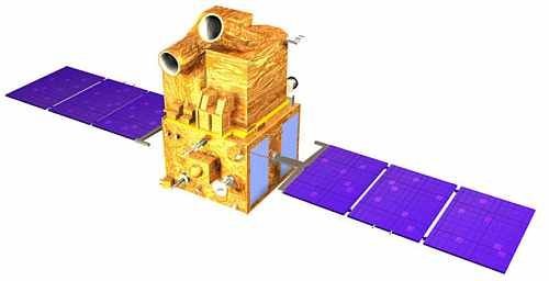
RapidEye Satellite Sensors
(5m)
The five (5) RapidEye satellite sensors were successfully launched from the DNEPR-1 Rocket on August 29th, 2008, at Baikonur Cosmodrome in Kazakhstan. RapidEye was built by MacDonald Dettwiler, Ltd. (MDA) and will offer customers a data source containing an unrivaled combination of large-area coverage, frequent revisit intervals, high-resolution, and multispectral capabilities.
After 12 years of operation, Planet decommissioned the RapidEye EO satellite constellation in April 2020.
Watch video of RapidEye the satellite launch.
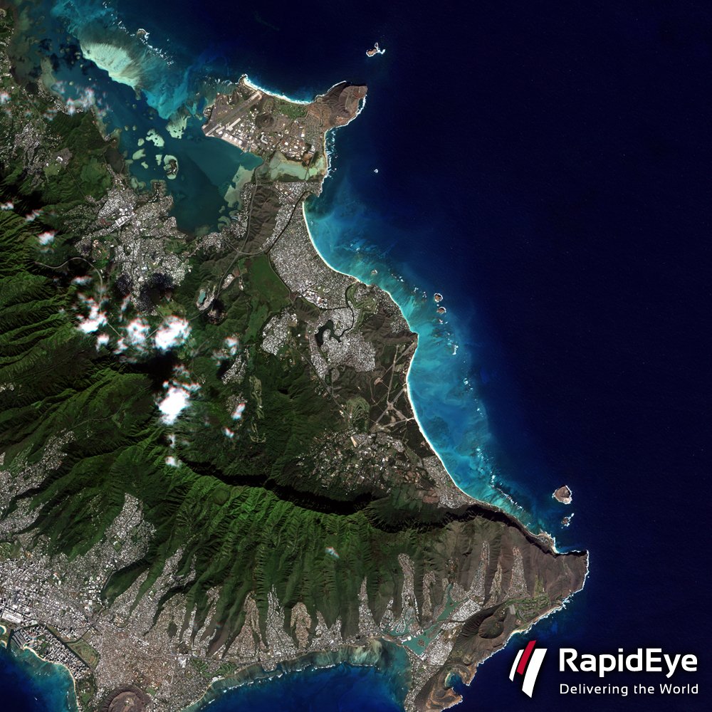
RapidEye Satellite Sensor (5m)
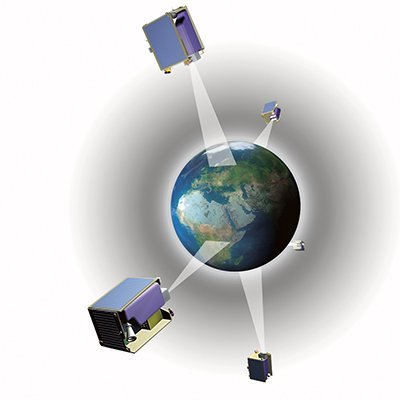
Five Constellation Satellites
TACHYS – (Rapid); MATI – (Eye); CHOMA – (Earth); CHOROS – (Space); TROCHIA – (Orbit)
Copyright © Planet Labs, Inc. All Rights Reserved.
The RapidEye constellation of five satellites stands apart from other providers of satellite-based geospatial information in their unique ability to acquire high-resolution, large-area image data on a daily basis.
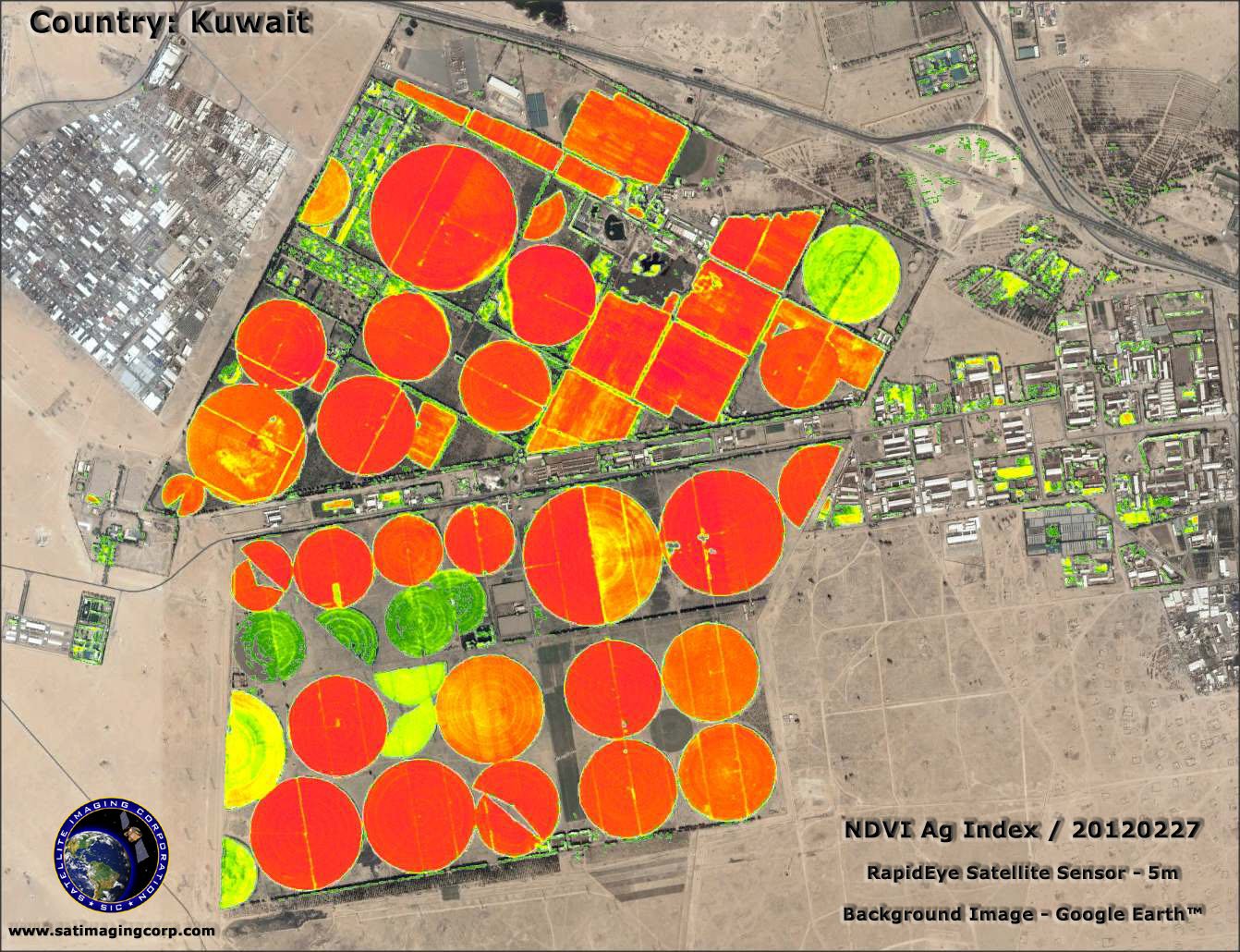
RapidEye’s imaging capabilities can be applied to a host of industries, including agriculture, forestry, oil and gas exploration, power and engineering and construction, governments, cartography, and mining.
The RapidEye system collects an unprecedented 4 million square kilometers of data per day at 6.5-meter nominal ground resolution. Each satellite measures less than one cubic meter and weighs 150 kg (bus + payload), and has been designed for at least a seven-year mission life. All five satellites are equipped with identical sensors and are located in the same orbital plane. RapidEye satellites include the Red-Edge band, which is sensitive to changes in chlorophyll content.
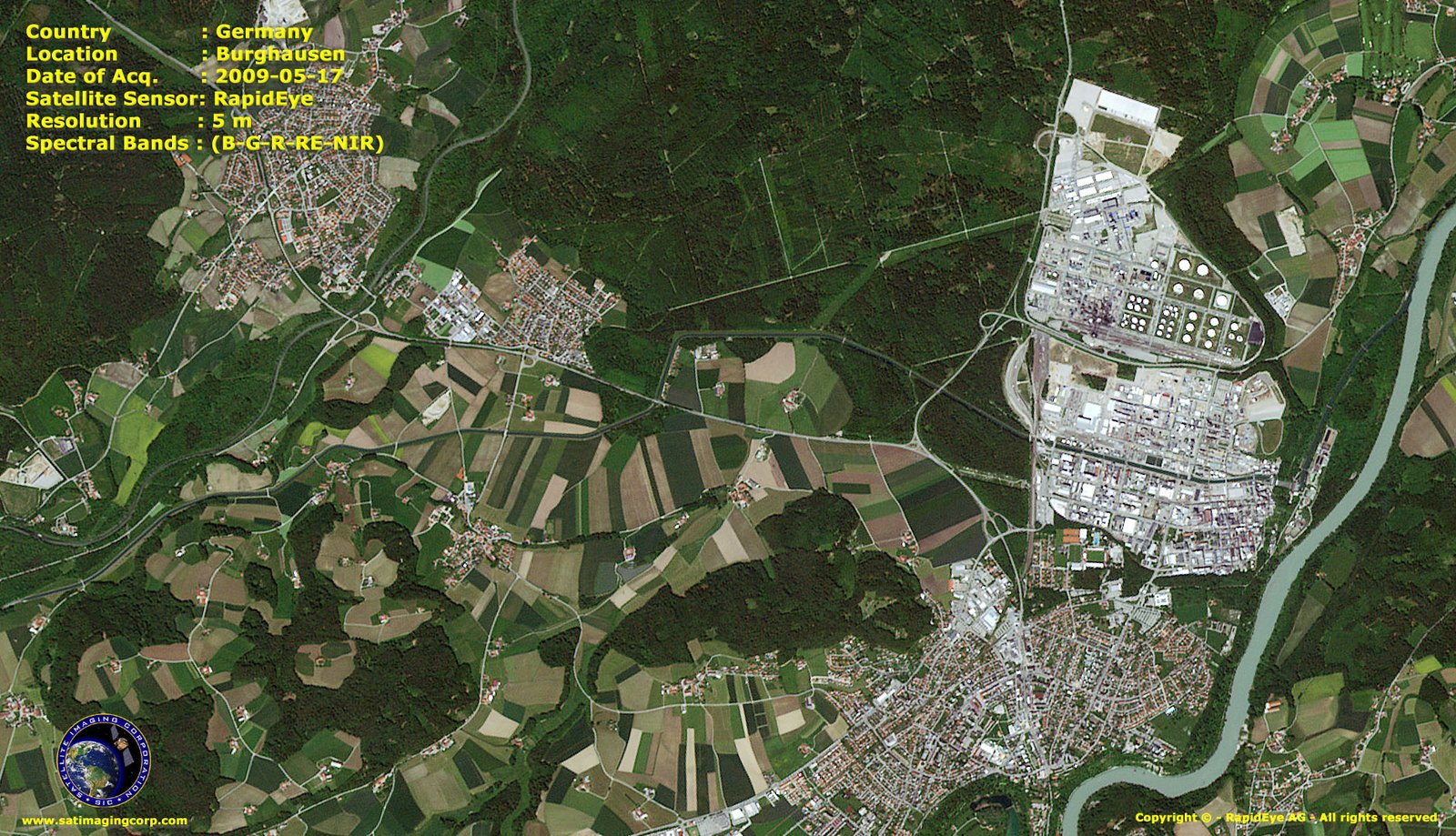
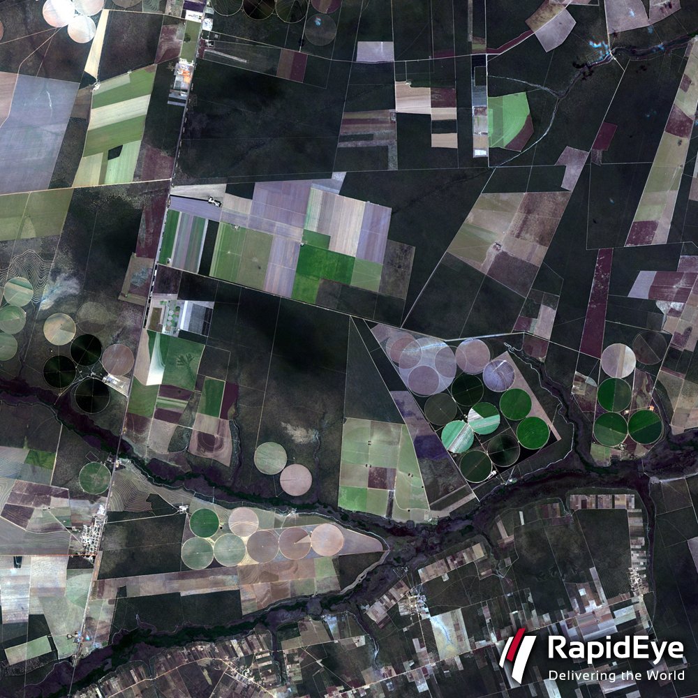
Sample Images
RapidEye Satellite Image Gallery
* Click on thumbnail to view in full resolution.
For more information on any of our products and image processing services, please contact us for a complimentary consultation.
RapidEye Satellite Sensor Specifications
Number of Satellites
5
Spacecraft Lifetime
7 years
Orbit Altitude
630 km in Sun-synchronous orbit
Equator Crossing Time
11:00 am local time (approximately)
Sensor Type
Multispectral push broom imager
Spectral Bands
Capable of capturing any of the following spectral bands:
Type
Blue
Green
Red
Red Edge
NIR
Wavelength (nm)
440 – 510
520 – 590
630 – 685
690 – 730
760 – 850
Equator Crossing Time
10:30 AM (descending node)
Orbit Time
101.4 minutes
Revisit Time
2-3 days, depending on latitude
Swath Width
60 Km x 60 Km to 80 Km at nadir
Metric Accuracy
< 50m horizontal position accuracy (CE90%)
Digitization
8 bits
Resolution
Panchromatic: 2.5m from 2 x 5m scenes
Panchromatic: 5m (nadir)
Multispectral: 10m (nadir)
SWIR: 20m (nadir)
Image Bands
Panchromatic: 480-710 nm
Green: 500-590 nm
Red: 610-680 nm
Near IR: 780-890 nm
SWIR: 1,580-1,750 nm


