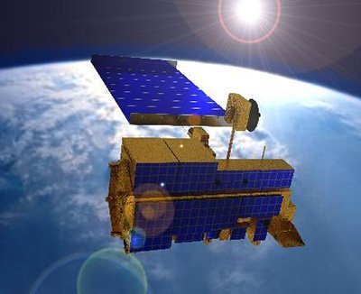
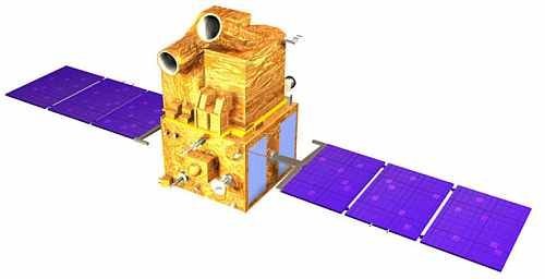
SPOT-5 Satellite Sensor
(2.5m/5m) - Decommissioned
The SPOT-5 satellite sensor has been decommissioned as of March 31, 2015. SPOT-5 was successfully placed into orbit by an Ariane 4 from the Guiana Space Centre in Kourou during the night of 3 to 4 May 2002. Archived SPOT-5 Satellite Imagery will remain available.
SPOT-5 Satellite Sensor (2.5m / 5m)

Copyright © AIRBUS Defence & Space. All rights reserved.
Thanks to SPOT-5’s improved 5-meter and 2.5-meter resolution and wide imaging swath, which covers 60 x 60 km or 60 km x 120 km in twin-instrument mode, the SPOT-5 satellite provides an ideal balance between high resolution and wide-area coverage. SPOT-5 satellite sensor was decommissioned on March 31, 2015.
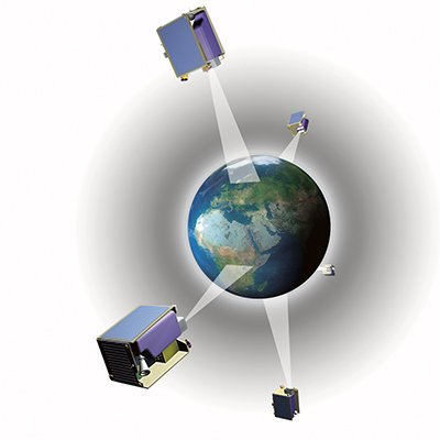
Compared to its predecessors, the SPOT-5 satellite offered greatly enhanced capabilities, which provided additional cost-effective imaging solutions. The coverage offered by SPOT-5 was a key asset for applications such as medium-scale mapping (at 1:25 000 and 1:10 000 locally), urban and land development planning, oil and gas exploration, and natural disaster management. SPOT-5’s other key feature was the unprecedented acquisition capability of the onboard HRS stereo viewing instrument, which could cover vast areas in a single pass. Stereo satellite imagery is vital for applications that call for 3D terrain modeling and computer environments, such as flight simulator databases, pipeline corridors, and mobile phone network planning.
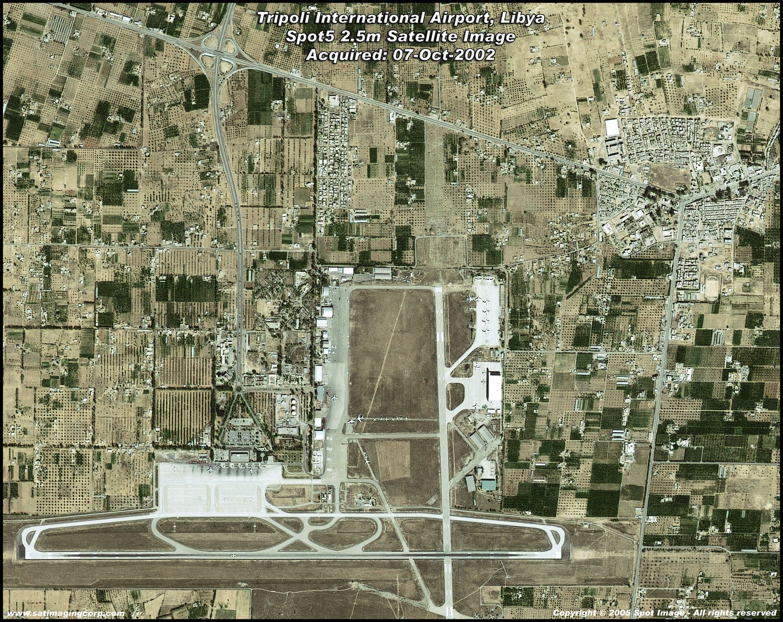
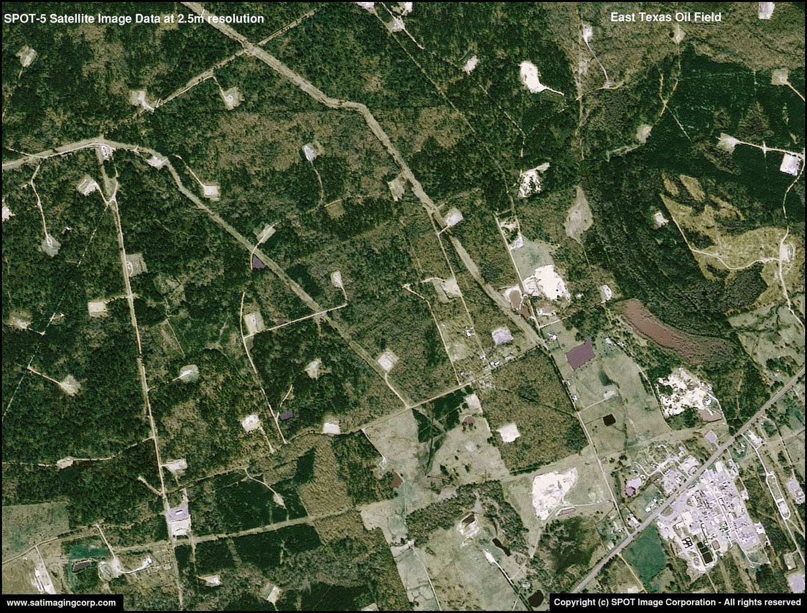
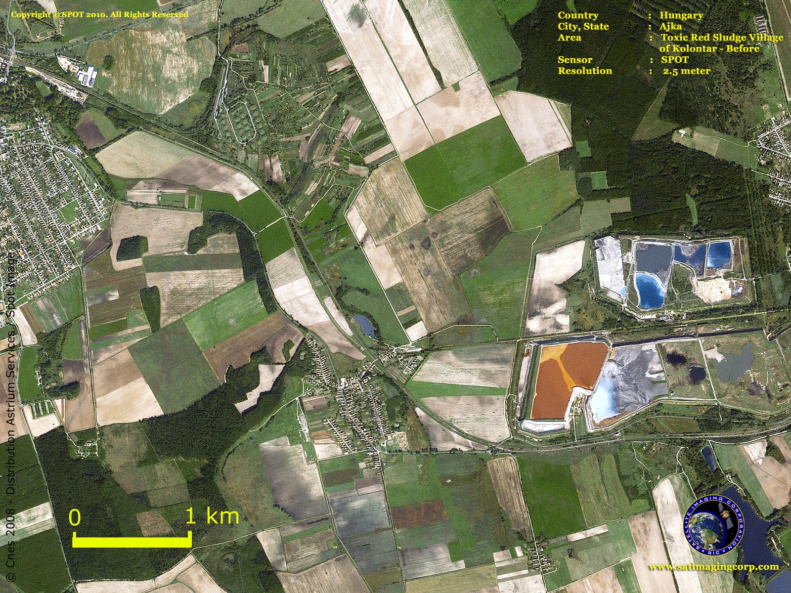
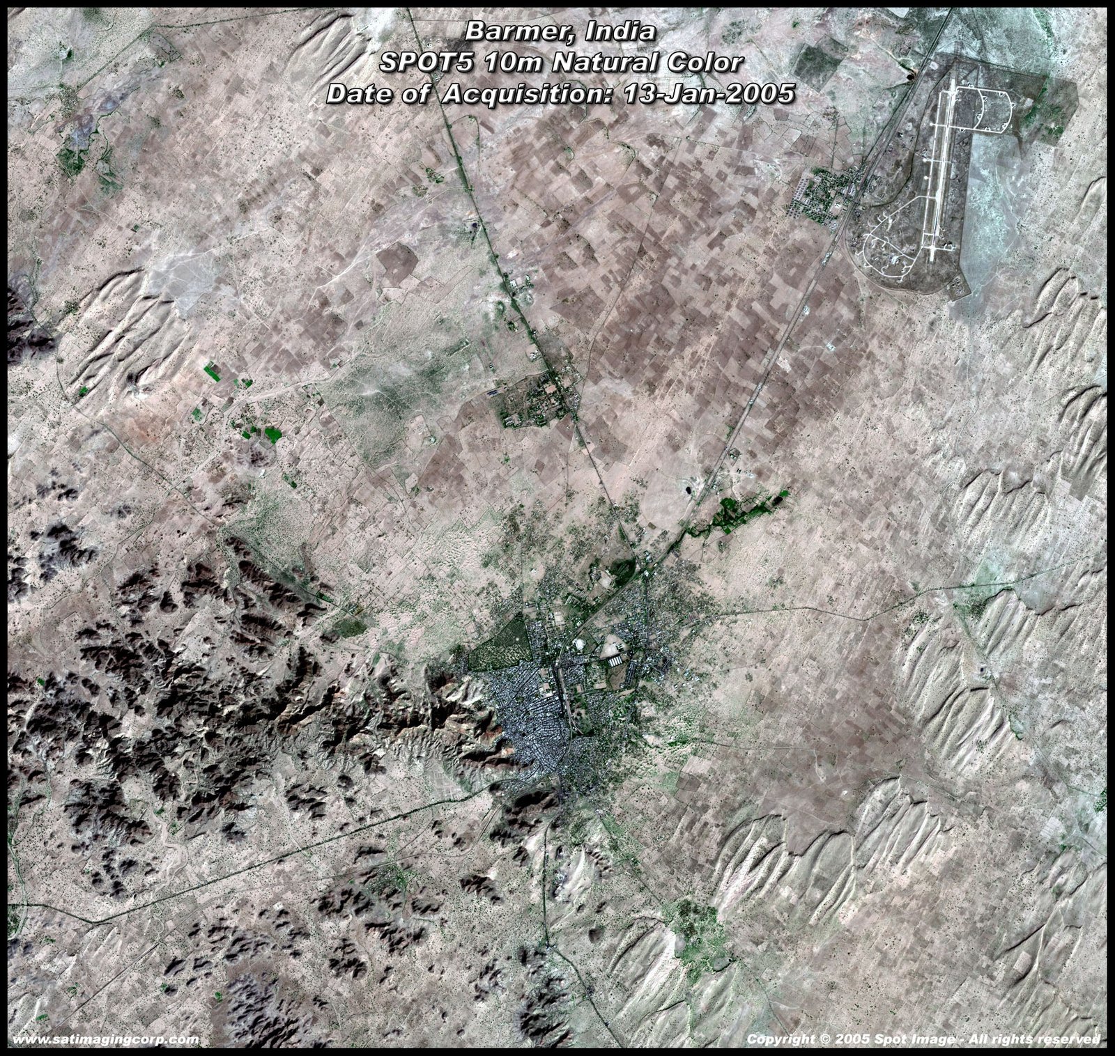
Sample Images
SPOT-5 Archived Satellite Image Gallery
* Click on thumbnail to view in full resolution.
For more information on any of our products and image processing services, please contact us for a complimentary consultation.
Technical documents are available for this sensor. Choose one to download it.
SPOT-5 Satellite Sensor Specifications
Launch Date
May 3, 2002
Launch Vehicle
Ariane 4
Launch Location
Guiana Space Centre, Kourou, French Guyana
Orbital Altitude
822 kilometers
Orbital Inclination
98.7°, sun-synchronous
Speed
7.4 Km/second (26,640 Km/hour)
Equator Crossing Time
10:30 AM (descending node)
Orbit Time
101.4 minutes
Revisit Time
2-3 days, depending on latitude
Swath Width
60 Km x 60 Km to 80 Km at nadir
Metric Accuracy
< 50m horizontal position accuracy (CE90%)
Digitization
8 bits
Resolution
Panchromatic: 2.5m from 2 x 5m scenes
Panchromatic: 5m (nadir)
Multispectral: 10m (nadir)
SWIR: 20m (nadir)
Image Bands
Panchromatic: 480-710 nm
Green: 500-590 nm
Red: 610-680 nm
Near IR: 780-890 nm
SWIR: 1,580-1,750 nm


