GIS Maps for Disaster & Emergency Management
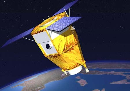
When an emergency or disaster hits, getting the right information about the situation is crucial to saving lives, accessing the damage to infrastructure and finding the right resources to respond to the emergency or disaster. Geographic Information Systems (GIS) and satellite imaging technology have played a key role in retrieving data needed to assist emergency personnel to respond to various disasters and emergencies including, natural disasters and hazards, crime, defense, and infastructure.
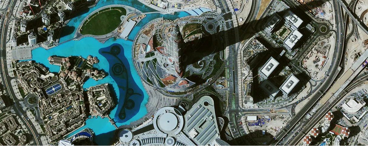
WorldView-2 (0.5m) Satellite Image of Hurricane Harvey Flooding
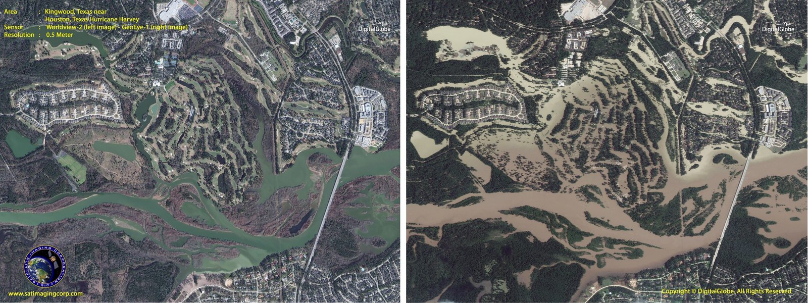
Copyright © MAXAR. All rights reserved.
With larger scale emergencies and new threats to our country, it is critical to prepare, prevent and recover from these casualties. Emergency personnel needs to collaborate with many departments to plan effectively for responding to any emergency or disaster at hand. GIS maps integrated with satellite imagery provide information to access and analyze disasters of all types which assists emergency personnel to better prepare for potential threats and to allow responders to visualize the impact to communities and infrastructure so recovery can begin.
Sentinel-1 satellite image of damage in and around San Juan, Puerto Rico from Hurricane Maria
Red and yellow circles show changes in infrastructure damage.
Click the image to view the area.
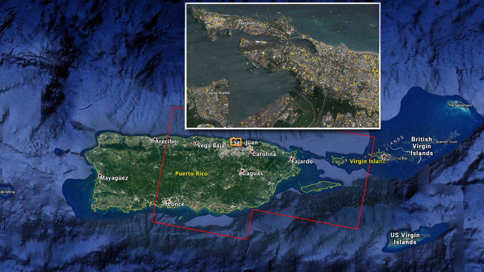
Copyright © NASA-JPL/Caltech/ESA/Copernicus/Google.
GIS has many benefits to emergency and disaster management including:
- Preparedness
- Data Management
- Situational Awareness
- Response
- Recovery
- Field Operations
GeoEye-1 (0.5m) Satellite Image Animation of Hurricane Katrina Before and After
Click image to view animation.
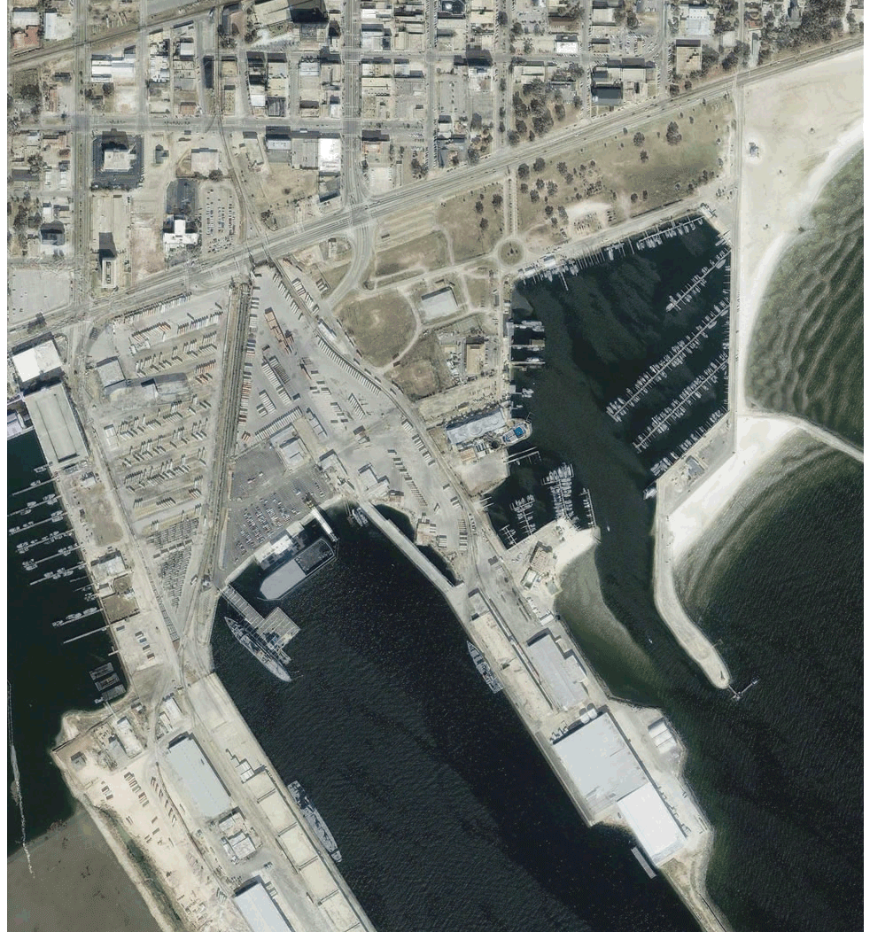
Copyright © MAXAR. All rights reserved.